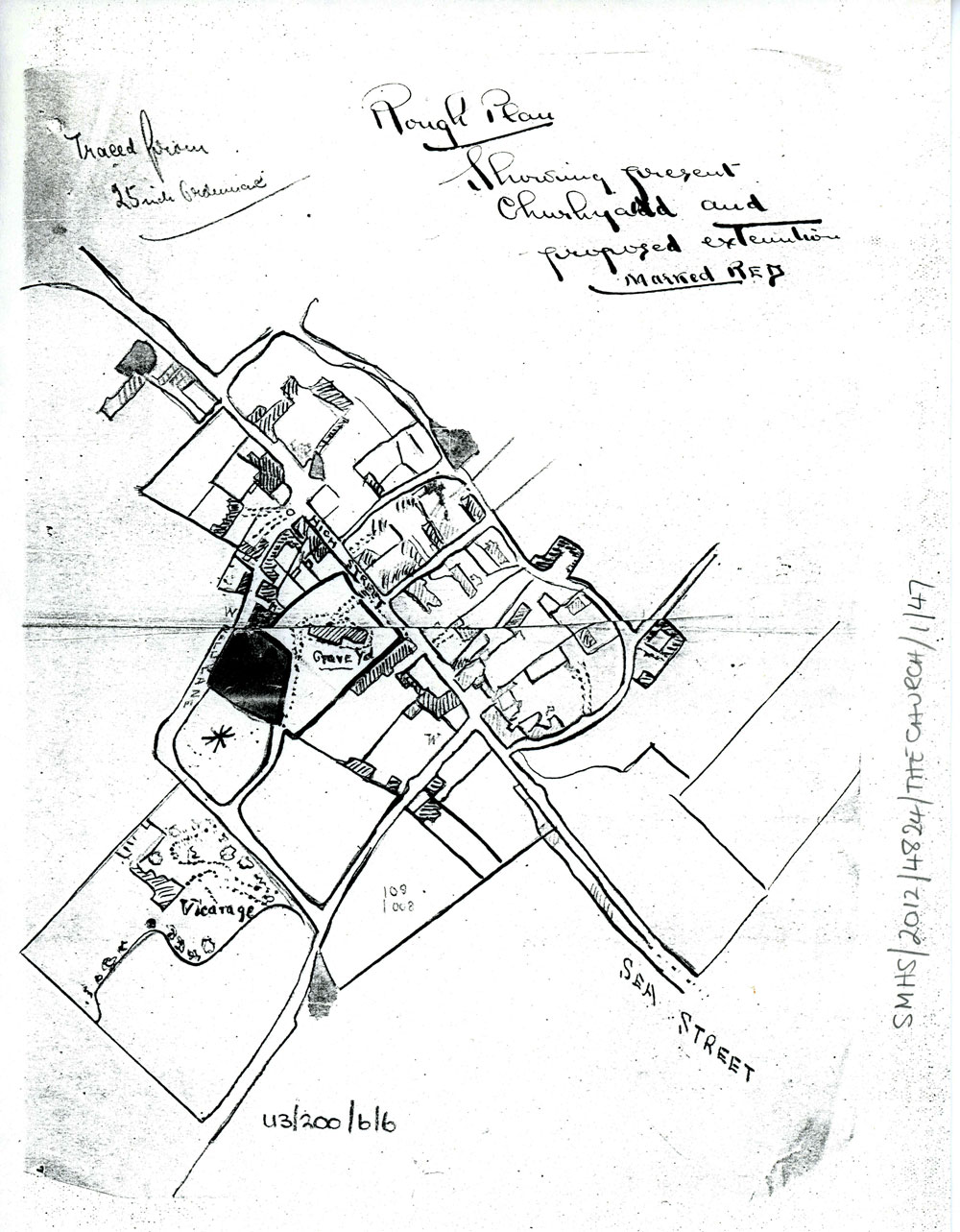
Plan of proposed churchyard extension. Late 19th century

Plan of proposed churchyard extension. Late 19th century
Photocopy of a ‘Rough Plan’ showing the present churchyard and the proposed extension marked in red. Original traced from 25 inch Ordnance Survey map, possibly by the vicar of the time. Late 19th century.
Original in Canterbury Cathedral Archive:
Ref: CCA U3/200/6/6.
Subject
The Village Church (270)
Date of creation
Late 19th centuryDate of coverage
Late 19th centuryPlace
St Margaret's at Cliffe, High Street, St Margaret's ChurchReference number
MARG.01344Format
Still image (3732)
License
Creative Commons Attribution-NonCommercial-NoDerivs (CC-BY-NC-ND)Search by text
You can carry out an advanced search of the archive by search term.
Search by subject
Browse by century:


No Comments
Add a comment about this page