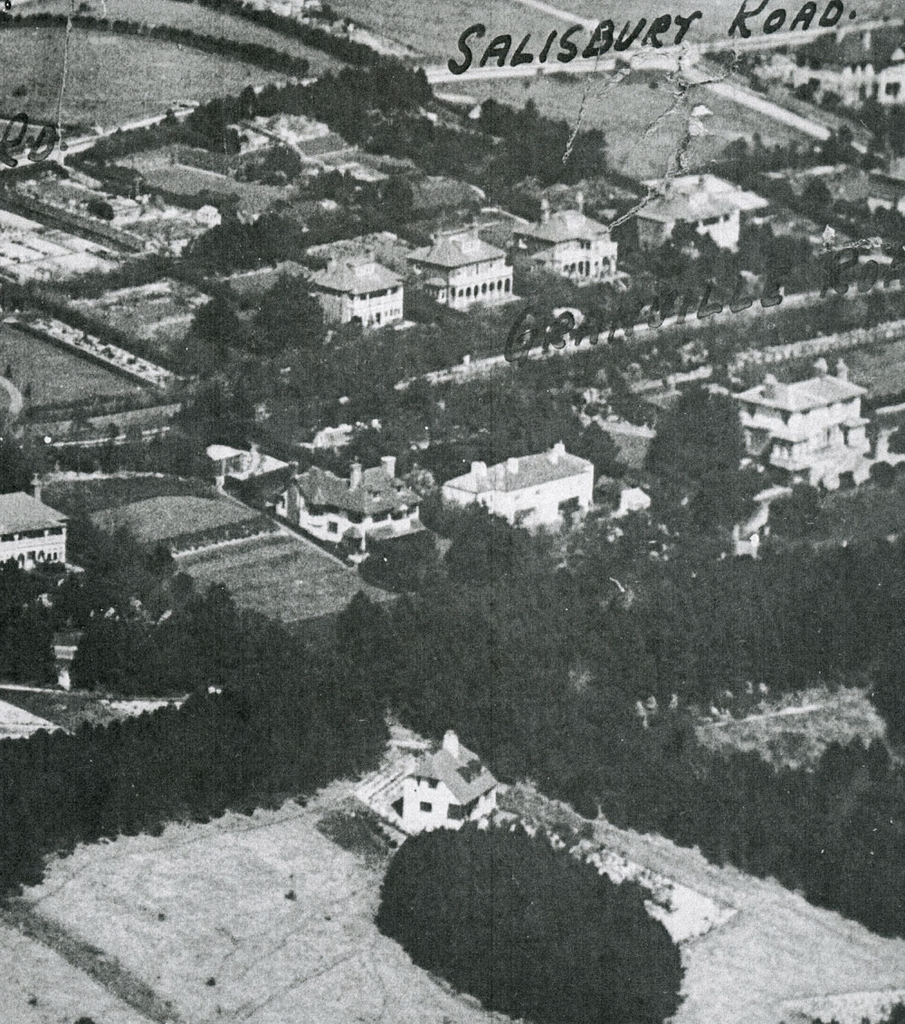
Aerial photograph of Salisbury and Granville Roads and Bay Hill. 1925

Aerial photograph of Salisbury and Granville Roads and Bay Hill. 1925
This black and white photograph is an aerial view of properties along Salisbury Road, Granville Road and Bay Hill.
This is an enlargement of a 1925 plan drawn up for a Gas Board survey of the area.
Creator
Gas BoardSubject
Granville Road (116)
Salisbury Road (27)
Date of creation
1925Date of coverage
1925Place
St Margaret's BayReference number
MARG.00726Format
Still image (3732)
License
Creative Commons Attribution-NonCommercial-NoDerivs (CC-BY-NC-ND)Search by text
You can carry out an advanced search of the archive by search term.
Search by subject
Browse by century:


No Comments
Add a comment about this page