OS Map of St Margaret's at Cliffe in 1956

OS Map of St Margaret's at Cliffe in 1956
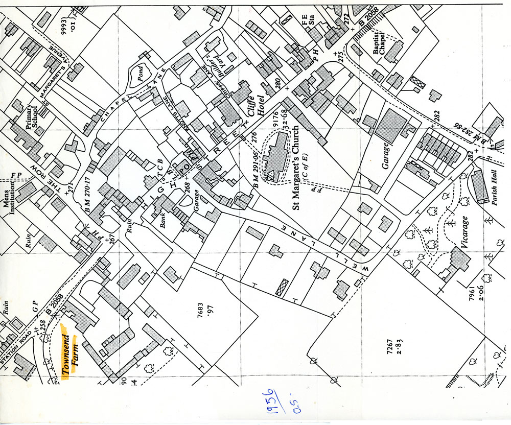
An enlarged part of a 1956 OS Map showing Townsend Farm and some of the surrounding village of St Margaret’s at Cliffe.
Subject
High Street (448)
Maps (46)
Townsend Farm (35)
Date of creation
1956Date of coverage
1956Place
St Margaret's at CliffeReference number
MARG.03335Format
Still image (3732)
License
Creative Commons Attribution-NonCommercial-NoDerivs (CC-BY-NC-ND)Search by text
You can carry out an advanced search of the archive by search term.
Search by subject
Browse by century:


No Comments
Add a comment about this page