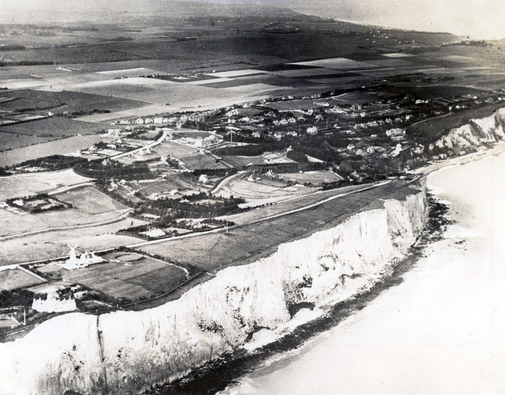
Aerial view of St Margaret's Bay and St Margaret's at Cliffe from the sea.1932
A view of the open farmland surrounding St Margaret’s in 1932 with housing development extending eastwards along The Droveway, Granville and Salisbury Roads. The windmill on the South Foreland is visible on the left.


No Comments
Add a comment about this page