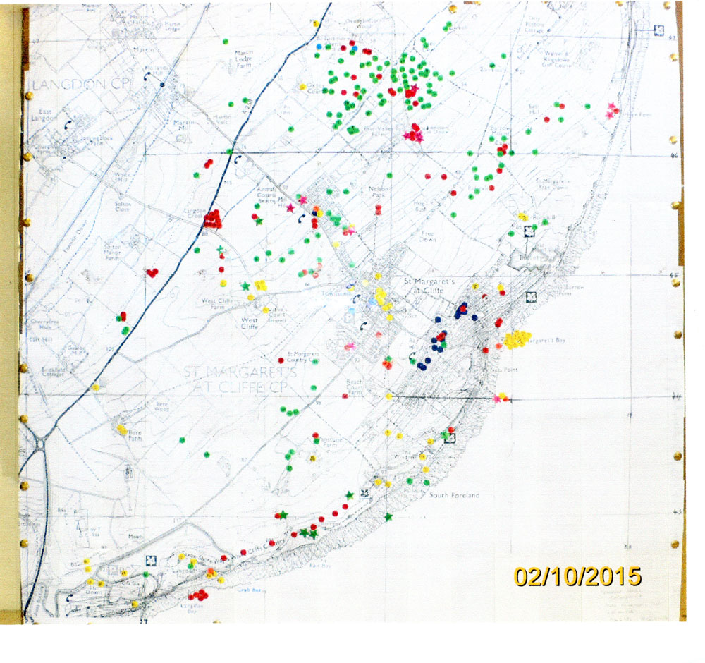
'Archaeological Map of St Margaret's at Cliffe' - Annotated OS Map of the whole Parish
Printout of photograph of Ordnance Survey map of the whole parish of St Margaret’s at Cliffe as compiled by Richard Bidgood, April 2011 – October 2015. Annotated with sites of structures/finds in the area.
Subject
Village Archaeology (37)
Date of creation
2011 - 2015Place
St Margaret's at CliffeContributor
Bidgood, RichardCopyright
Director General of Ordnance SurveyReference number
MARG.05462Format
Still image (3732)
License
Creative Commons Attribution-NonCommercial-NoDerivs (CC-BY-NC-ND)Search by text
You can carry out an advanced search of the archive by search term.
Search by subject
Browse by century:
No Comments
Add a comment about this page